01 · Middle East
Shallow water.
Complex ground.
Shallow gulfs and coastal energy corridors demand precise hydrography, disciplined geotechnical planning and a strong understanding of carbonate-rich ground conditions.
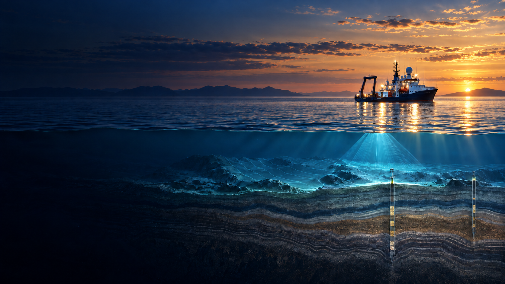
ASAO integrates bathymetric survey, seismic imaging and geotechnical investigation into one coordinated campaign—turning subsurface uncertainty into engineering-ready data.
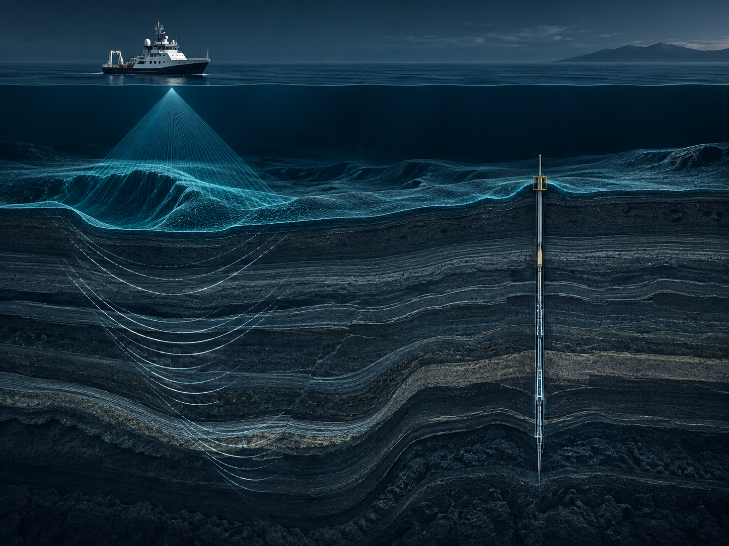
Integrated site characterisation
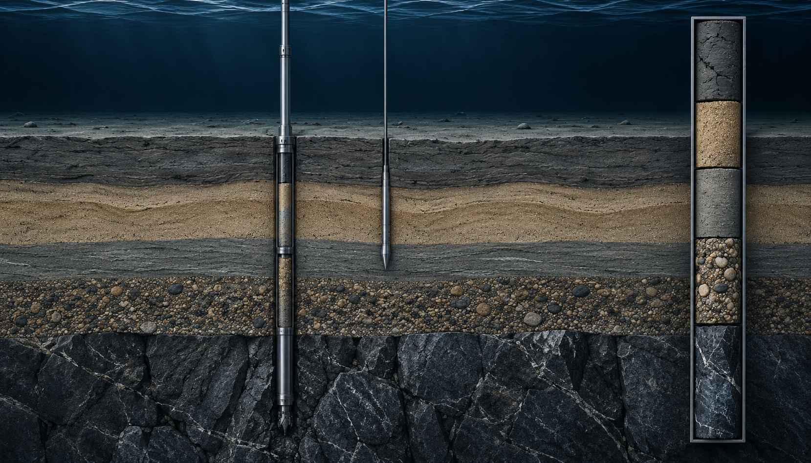
Bathymetry defines the seabed. Seismic reveals what lies beneath it. Geotechnical investigation verifies the ground itself.
ASAO aligns the three disciplines into one coordinated campaign—reducing interfaces, improving dataset correlation and giving engineering teams a clearer basis for design.
Bathymetry & Hydrography
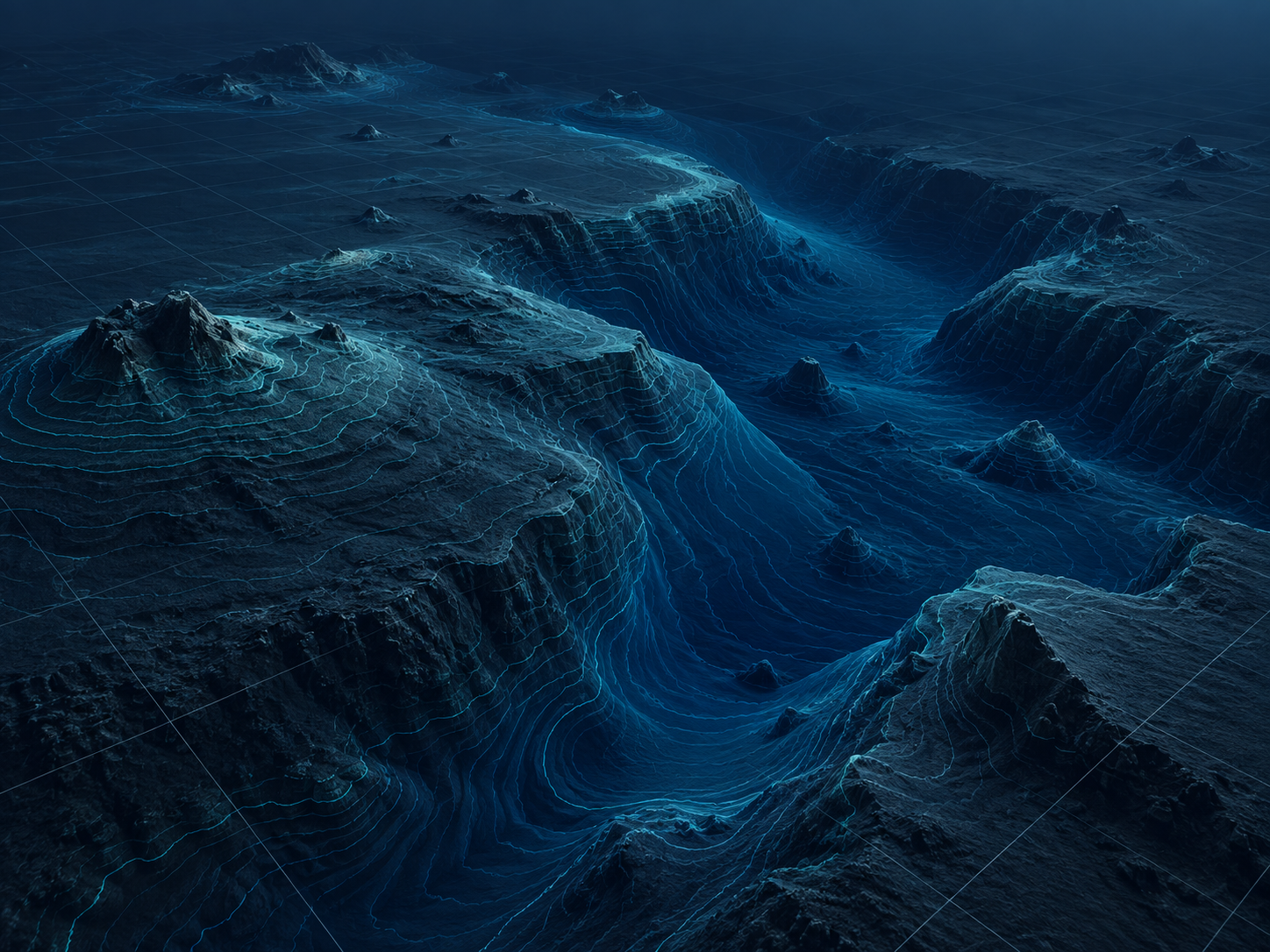
High-resolution multibeam and hydrographic survey data define seabed morphology, route conditions and marine infrastructure constraints before engineering begins.
ASAO captures and interprets seabed data across nearshore and offshore environments, giving engineering teams a clearer physical understanding of the site before route selection, foundation design or marine construction.
Geophysics & Seismic Imaging
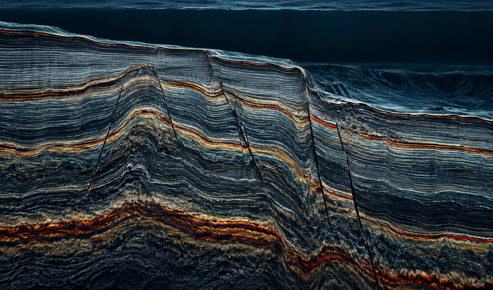
High-resolution seismic and sub-bottom data reveal structures, stratigraphy and shallow geohazards that seabed mapping alone cannot resolve.
ASAO extends site understanding below the seabed, helping engineering teams identify sediment boundaries, structural features and subsurface conditions before drilling, foundation design or marine construction.
Geotechnical Drilling & Testing
Boreholes, coring and in-situ testing convert interpreted subsurface models into physical ground truth for engineering design.
ASAO combines drilling, continuous sampling and field testing to confirm soil and rock conditions below the seabed—providing direct evidence of material strength, stratigraphy and variability.
Regional operating environments
Marine site characterisation changes with geology, water depth, climate and logistics. ASAO structures each campaign around the realities of the region—not a one-size-fits-all survey plan.
01 · Middle East
Shallow gulfs and coastal energy corridors demand precise hydrography, disciplined geotechnical planning and a strong understanding of carbonate-rich ground conditions.
02 · Africa
Coastal deltas, deep offshore basins and remote operating conditions place a premium on integrated campaigns, adaptable assets and logistical resilience.
03 · Caribbean
Coastal shelves, island logistics and constrained landfall corridors require coordinated bathymetric, geophysical and geotechnical evidence for marine infrastructure.
Why ASAO
Marine site investigation becomes harder when bathymetry, geophysics and geotechnics are planned as disconnected campaigns. ASAO brings them together around one technical objective and one coordinated delivery programme.
01
One technical and operational interface across hydrographic, geophysical and geotechnical workstreams reduces coordination friction throughout the campaign.
02
Coordinated acquisition planning helps reduce duplicated mobilisation, disconnected vessel activity and unnecessary transitions between specialist contractors.
03
Bathymetric, seismic and physical ground data are interpreted in context, allowing each dataset to strengthen the understanding provided by the others.
04
The objective is not simply acquisition. Deliverables are structured around the decisions that follow—routing, foundation design, construction planning and project development.
The operating principle
Our story
ASAO is built on a simple idea: better engineering decisions come from understanding the subsurface as one connected system.
The model brings geophysical and seismic intelligence together with bathymetry and geotechnical investigation, so interpretation and physical ground truth can be considered in context.
Instead of treating each discipline as a technical silo, ASAO organises the campaign around the questions that matter to operators and engineering teams: what is there, what lies beneath, and how will the ground behave?
Work with ASAO01
Start with the ground model, not the equipment list.
02
Connect geophysical and geotechnical thinking from the beginning.
03
Data creates value when it improves the next engineering decision.
Start a project
Tell us where you are working, what you need to understand and where you are in the project lifecycle. We’ll help structure the right site-characterisation campaign.