Deepwater Bathymetry
Model seabed form, slopes and regional topography around proposed assets and infrastructure corridors.
01
- Macro-bathymetric mapping
- Slope and terrain context
- Regional seabed model

ASAO coordinates deepwater bathymetry, seismic imaging and geotechnical investigation around the asset decisions that follow.
Offshore campaign architecture
The offshore proposition is not simply more equipment. It is a clearer chain from seabed geometry, to subsurface interpretation, to physical samples and engineering decisions.
Deepwater Bathymetry
Model seabed form, slopes and regional topography around proposed assets and infrastructure corridors.
2D / 3D Seismic
Image structural relationships, stratigraphic transitions and potential shallow hazards around the development area.
Geotechnical Coring
Recover soil and rock evidence from locations selected against the interpreted geophysical model.
Integrated Delivery
Connect acquisition, testing and interpretation so the evidence remains traceable into engineering workflows.
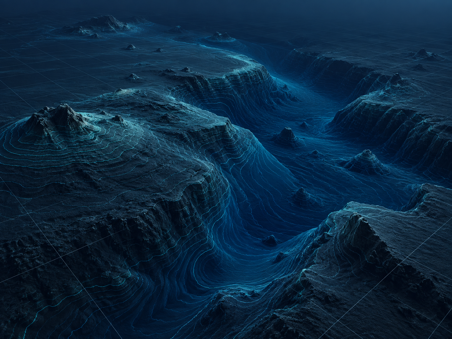
Deepwater geometry
Bathymetry provides the terrain context needed to understand slopes, relief and the broader physical setting of deepwater developments.
That context helps direct detailed seismic and geotechnical investigation toward the areas that matter most.
See the integrated campaign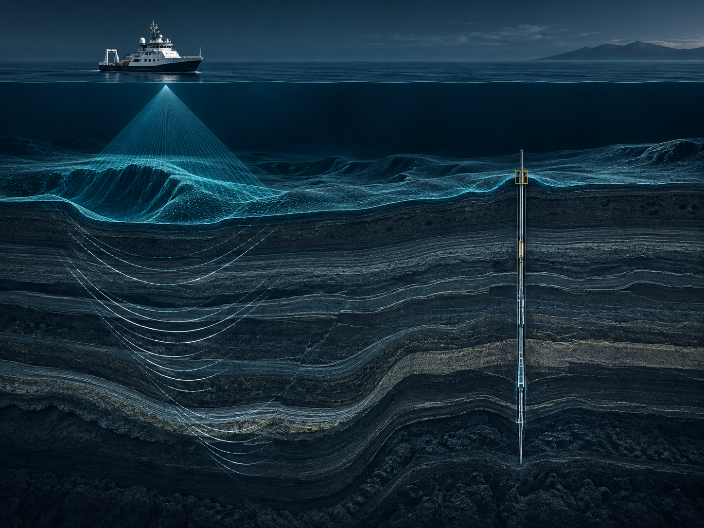
Campaign integration
Vessel days, mobilisation and weather windows are expensive constraints. A coordinated scope is designed so each acquisition phase informs the next.
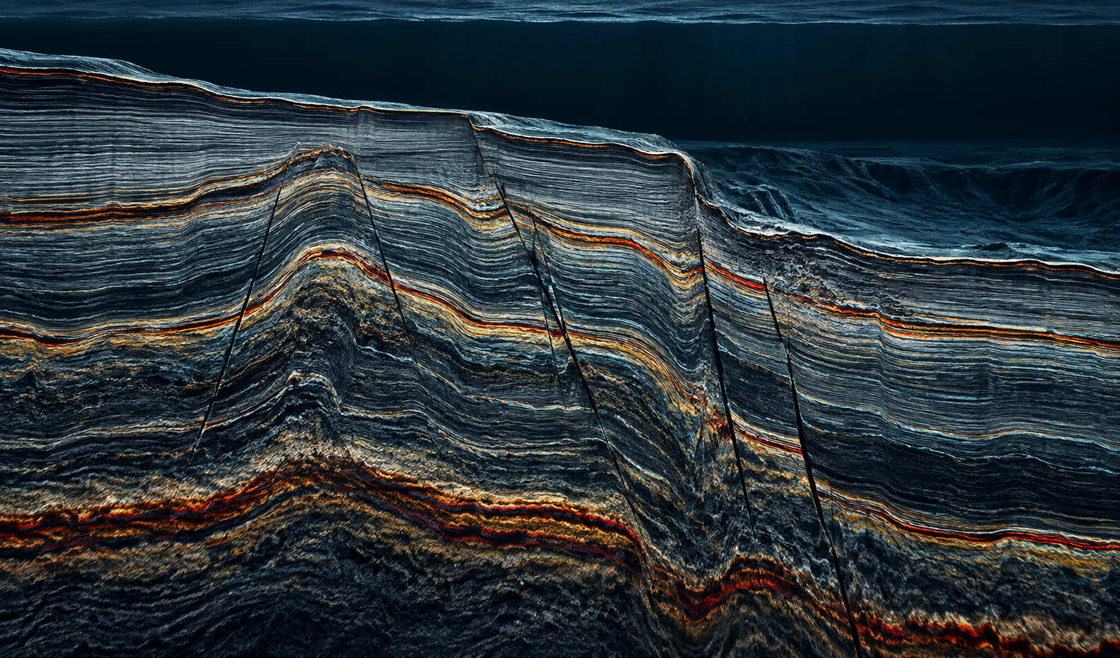
Subsurface structure
2D / 3D seismic and sub-bottom data help resolve stratigraphy, faults, transitions and potential shallow hazards around the development area.
The value increases when geotechnical locations are selected against the interpreted subsurface model rather than in isolation.
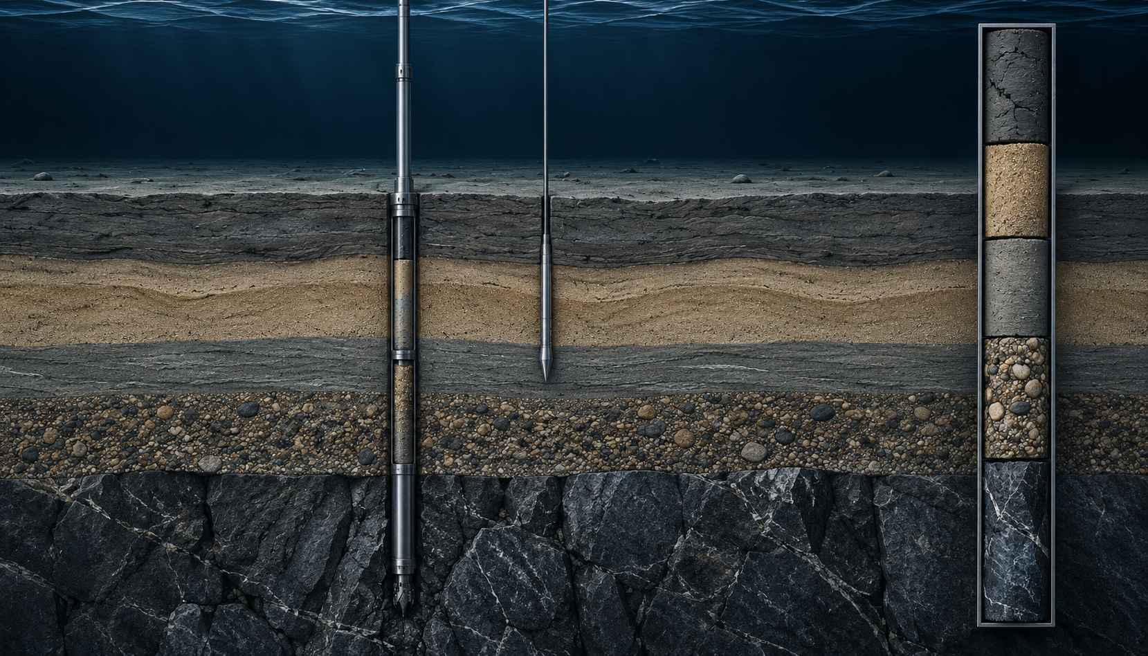
Deep ground truth
Wireline coring, CPT and borehole investigation verify material properties at selected locations, turning geophysical interpretation into engineering evidence.
Offshore applications
The campaign can be configured around the development question—foundation risk, route understanding, field expansion or early-stage site screening.
Build integrated ground evidence around subsea architecture, manifolds and production infrastructure.
Understand terrain, route conditions, shallow geology and targeted ground properties along subsea corridors.
Support mooring, anchor and foundation decisions with combined geophysical and geotechnical evidence.
Characterise sites and export corridors where foundations and cables depend on both geometry and ground behaviour.
Identify and investigate structural or shallow features that could affect siting, installation or long-term integrity.
Reduce uncertainty before final investment and detailed engineering decisions lock in the development concept.
Engineering-ready evidence
The strongest deliverable is a traceable ground model where bathymetry, seismic interpretation, boreholes, samples and test results can be understood together.
That integration is the layer that turns acquisition into a decision tool.
Read the ASAO approachOffshore & deepwater
Share the asset, project stage, approximate water depth, geography and the uncertainty your engineering team needs to resolve.