Bathymetry & Hydrography
Map seabed form, water depth and route constraints across ports, cable corridors and pipeline landfalls.
01
- Multibeam mapping
- Hydrographic profiling
- Route and landfall support
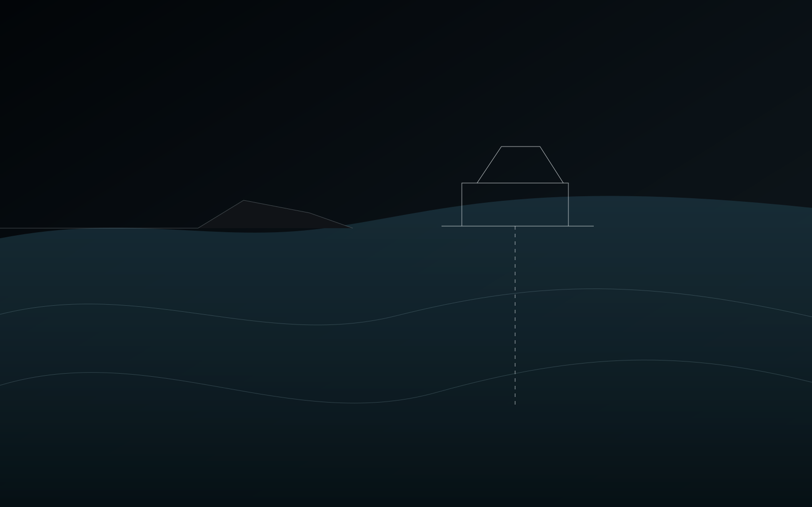
ASAO coordinates bathymetry, shallow seismic and geotechnical investigation across the landfall corridor so route and foundation teams can work from one connected ground picture.
Nearshore campaign architecture
Shallow-water projects sit at the interface between marine, coastal and terrestrial engineering. The campaign is structured so those interfaces are investigated together.
Bathymetry & Hydrography
Map seabed form, water depth and route constraints across ports, cable corridors and pipeline landfalls.
Shallow Seismic
Resolve upper sediment layers and shallow geohazards before engineering or construction starts.
Drilling & CPT
Obtain physical ground truth from purpose-suited shallow-water assets and stable nearshore platforms.
Integrated Data
Connect survey and ground-truth outputs into a coherent package for route and design decisions.
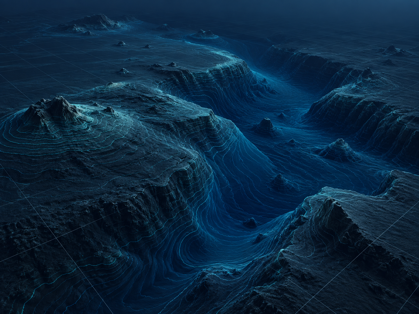
Seabed geometry
High-resolution bathymetry gives the project a reliable surface model for pipeline, cable, port and coastal infrastructure planning.
Used early, the data helps identify topographic constraints, local seabed variability and areas that require deeper geophysical or geotechnical investigation.
Follow the workflow
The interface zone
Tides, shallow draft, changing sediments, access constraints and landfall geometry all meet in one corridor. The investigation should be planned as one system rather than separate survey tasks.
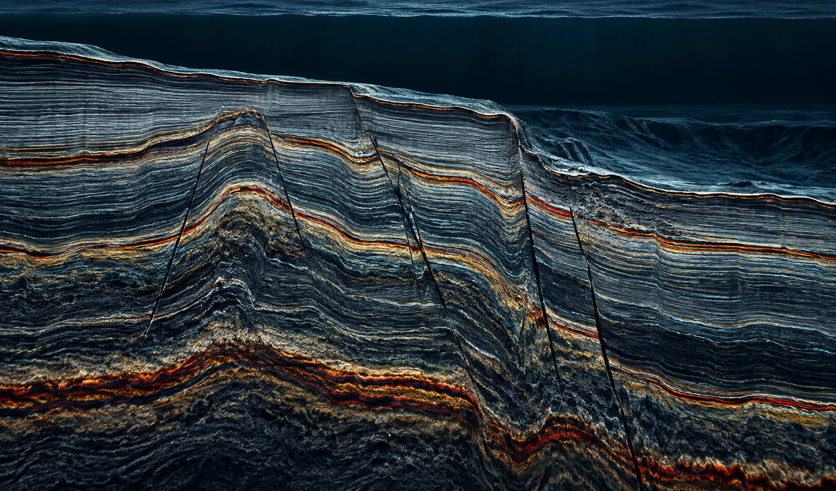
Shallow subsurface imaging
Sub-bottom profiling adds the vertical dimension bathymetry cannot provide, allowing teams to trace shallow stratigraphy and screen features that may affect installation or foundation design.
Interpretation becomes more useful when it directly informs borehole and CPT locations.
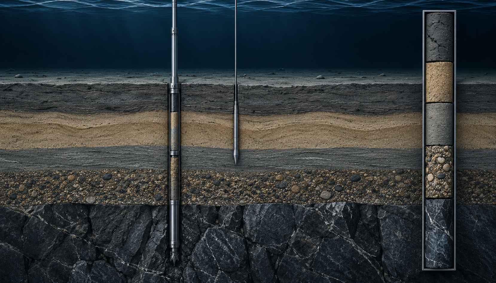
Physical ground truth
Nearshore drilling and CPT verify material properties beneath critical route sections, shore approaches and foundation locations.
Nearshore applications
The acquisition stack changes with the asset, but the need is consistent: understand the seabed, shallow subsurface and physical ground before construction.
Characterise shore approaches, shallow seabed geometry and ground conditions along the route corridor.
Support route selection, burial assessment and local geohazard understanding across shallow-water corridors.
Build ground evidence for dredging, expansion, quay, jetty and access-channel planning.
Investigate export corridors, foundations and nearshore infrastructure around energy developments.
Combine seabed geometry and physical ground properties around crossings, piers and structures.
Reduce early uncertainty before detailed design and installation planning begin.
Unified deliverables
Hydrographic, geophysical and geotechnical outputs should be easy to compare, trace and hand into the next engineering workflow.
Acquisition creates value when the resulting evidence improves the project decision.
Read the ASAO approachNearshore & landfall
Share the location, asset type, approximate water depth and project stage. We can shape the survey and drilling package around the decision you need to make.